GDD since planting
PEI multi-crop irrigation report
Newton Road (East)
Multi-crop mirror of the irrigation dashboard for Newton Road (East). Reference ETo stays automatic, then crop choice changes Kc, stage timing, ETc, and the water-balance view.
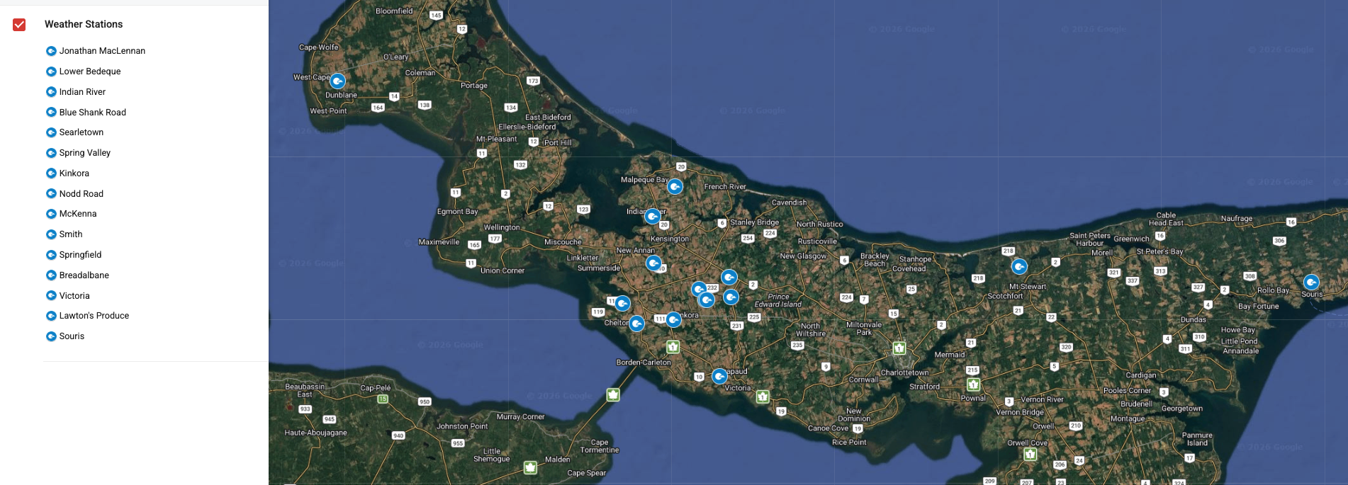
PEI station map

Crop setup
Select the crop assumptions that should sit downstream of the existing automatic ETo method. Potato matches the current dashboard by default.
Advanced crop editing
Edit these template defaults when a field needs different stage names, Kc values, durations, rooting depth, or explanatory notes. These remain browser-side planning edits until you save a preset.
| Stage | Kc default | Duration (days) |
|---|
Weekly water balance
Weekly rain and irrigation compared with crop water use, recalculated from the selected crop template after the automatic ETo method has already been chosen.
Showing full season
Weekly rain
Weekly ETc
Surplus 0.0 mm
Deficit 0.0 mm
Weekly summary table
Use this table to compare weekly rainfall and irrigation against the active crop template. Growth stage and irrigation remain editable week by week.
| Week Ending | Growth Stage | Crop | ETo Method | Mean Temp | Mean Solar | Rain | Irrigation | Total Input | ETo | Kc | ETc | Weekly GDD | Season GDD | Surplus/Deficit | Reserve | Depletion | Refill | Avg VWC | Avg Water Content | Avg EC |
|---|
Saved field and crop presets
Save the current crop, planting date, stage edits, irrigation edits, and crop-template tweaks so the same field setup can be reloaded later.
Using the default potato plan.
| Preset Name | Crop | Planting Date | Saved | Changed Weeks | Actions |
|---|
How to use this report
The automatic reference ETo logic is unchanged here: FAO-56 Penman–Monteith runs when enough weather inputs exist, and corrected Hargreaves fills the gaps when those inputs are incomplete.
Crop selection is downstream of ETo. It changes crop-stage assumptions, default Kc values, optional stage durations, and the ETc and water-balance interpretation shown on this page.
The default crop templates are editable planning defaults, not locally validated PEI recommendations. Refine them as field knowledge improves.
- Penman-Monteith uses station solar radiation, humidity, wind, and a PEI latitude/elevation fallback when a station-specific location is not configured.
- Sensor model returns n/a until there are enough soil-moisture observations to estimate field capacity and weekly reserve changes.